These data are sourced from the Treatment and Wildfire Interagency Geodatabase Viewer (TWIG).
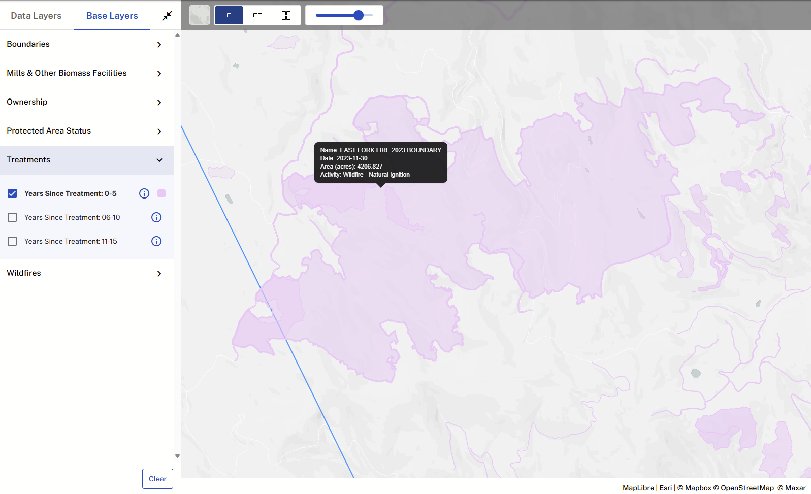
Note: TWIG classifies all wildfire perimeters as treatments, including natural ignitions. As a result, when these layers are selected to display in the Map Viewer or used to define an Excluded Area, wildfire perimeters may also be included alongside other treatment data.
See example image.
Was this article helpful?
That’s Great!
Thank you for your feedback
Sorry! We couldn't be helpful
Thank you for your feedback
Feedback sent
We appreciate your effort and will try to fix the article